File list
This special page shows all uploaded files.
| Name | Thumbnail | Size | User | Description | Versions | |
|---|---|---|---|---|---|---|
| 16:28, 29 January 2014 | Spree 1.jpg (file) |  |
10 KB | Benjamin Kupilas | Reconnected meander Mönchwinkel II: The former main channel was blocked by a gravel dam (left side at the picture) to redirect all flow through the new meander; the remaining old main stem stretch serves as new flow protected habitat. | 1 |
| 16:34, 29 January 2014 | Spree 2.jpg (file) |  |
11 KB | Benjamin Kupilas | Reconnected meander Mönchwinkel I (left meander) and Mönchwinkel II (right meander). | 1 |
| 16:27, 30 January 2014 | K picture1.jpg (file) | 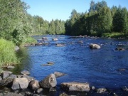 |
40 KB | Benjamin Kupilas | The restored riffle section Hirvaskoski at River Kuivajoki. Most of the boulders that were removed from the river during channelisation were placed back in early 2000s to create more heterogenous habitat for the stream biota. | 1 |
| 16:30, 30 January 2014 | K picture2.jpg (file) | 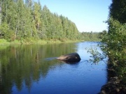 |
40 KB | Benjamin Kupilas | The non-restored riffles lack heterogenous flow pattern of the natural riffle sections | 1 |
| 16:31, 30 January 2014 | K picture3.jpg (file) | 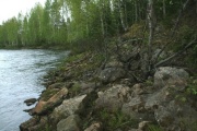 |
73 KB | Benjamin Kupilas | During channelisation for timber transport boulders were removed from the river channel and placed at the banks where they still remain (photo from non-restored Hirvaskoski 2012). | 1 |
| 16:46, 30 January 2014 | K table1.jpg (file) |  |
10 KB | Benjamin Kupilas | Table 1 | 1 |
| 10:20, 12 February 2014 | V picture1.jpg (file) | 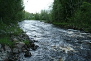 |
72 KB | Benjamin Kupilas | Picture 1. Niskakoski, a restored site at river Vääräjoki | 1 |
| 10:27, 12 February 2014 | V picture2.jpg (file) |  |
53 KB | Benjamin Kupilas | Picture 2. Vääräjoki: lowland river with agriculture in the catchment area. | 1 |
| 10:33, 12 February 2014 | V table1.jpg (file) | 19 KB | Benjamin Kupilas | 1 | ||
| 10:39, 12 February 2014 | V picture4.jpg (file) | 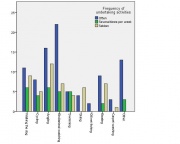 |
26 KB | Benjamin Kupilas | Figure 2: Frequency of common resident activities near Vääräjoki. | 1 |
| 10:40, 12 February 2014 | V picture3.png (file) |  |
146 KB | Benjamin Kupilas | Figure 1. One of the eight choice cards used in the questionnaire. | 1 |
| 12:15, 12 February 2014 | D picture1.png (file) | 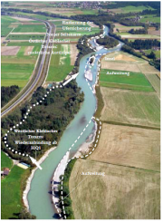 |
593 KB | Benjamin Kupilas | Figure 1: Overview restoration measures Kleblach (cp. MANDLER, H., PETUTSCHNIG, W. & SEREINIG, N., 2004) | 1 |
| 12:15, 12 February 2014 | D picture2.png (file) | 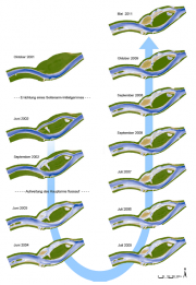 |
372 KB | Benjamin Kupilas | Figure 2: morphological development of the side channel (cp. UNTERLERCHER, M. & PETUTSCHNIG, W., 2011) | 1 |
| 13:38, 12 February 2014 | E picture1.jpg (file) | 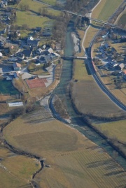 |
71 KB | Benjamin Kupilas | Figure 1: Overview restoration measures Aich (cp. IHG, 2007) | 1 |
| 09:06, 27 May 2014 | Thur unrestored.jpg (file) | 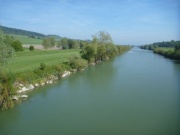 |
53 KB | Benjamin Kupilas | Unrestored site, view upstream, autumn 2013 | 1 |
| 09:17, 27 May 2014 | Thur restored.jpg (file) | 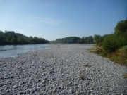 |
102 KB | Benjamin Kupilas | Restored site, view downstream, autumn 2013 | 1 |
| 09:44, 27 May 2014 | Töss unrestored.jpg (file) | 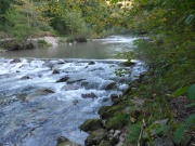 |
133 KB | Benjamin Kupilas | Unrestored site, view upstream, autumn 2013 | 1 |
| 09:44, 27 May 2014 | Töss restored.jpg (file) | 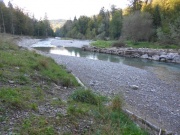 |
129 KB | Benjamin Kupilas | Restored site, view downstream, autumn 2013 | 1 |
| 12:02, 27 May 2014 | Narew eins.JPG (file) | 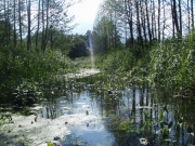 |
965 KB | Benjamin Kupilas | 1 | |
| 12:25, 27 May 2014 | IMG 0275.JPG (file) | 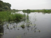 |
3.02 MB | Benjamin Kupilas | 1 | |
| 12:35, 27 May 2014 | Lippe 1.jpg (file) | 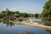 |
101 KB | Benjamin Kupilas | Lippe river | 1 |
| 12:38, 27 May 2014 | Lippe 2.jpg (file) | 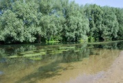 |
163 KB | Benjamin Kupilas | Lippe river | 1 |
| 14:41, 28 May 2014 | Ruhr 1.JPG (file) | 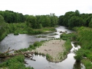 |
3.9 MB | Benjamin Kupilas | 1 |