Low reach of River Cinca
From REFORM wiki
Low reach of River Cinca
Key features of the case study
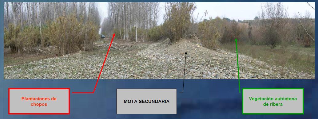
The objective of the project is to restore the stream morphology and floodplain conditions of the river Cinca in the lower reach, between Velilla de Cinca and Fraga. There are a major actuation that consist of remove a levee that only protect crops.
Site description
The river Cinca is one of the largest rivers in the Ebro Basin.
Measures selection
Success criteria
Ecological response
Hydromorphological response
Monitoring before and after implementation of the project
Socio-economic aspects
Contact person within the organization
Extra background information
References
http://oph.chebro.es/DOCUMENTACION/Restauracion/Restauracion.htm
Related Measures
- Link flood reduction with ecological restoration
- Widen water courses
- Allow/increase lateral channel migration or river mobility
- Set back embankments, levees or dikes
- Develop riparian forest
- Remove hard engineering structures that impede lateral connectivity
- Revegetate riparian zones
